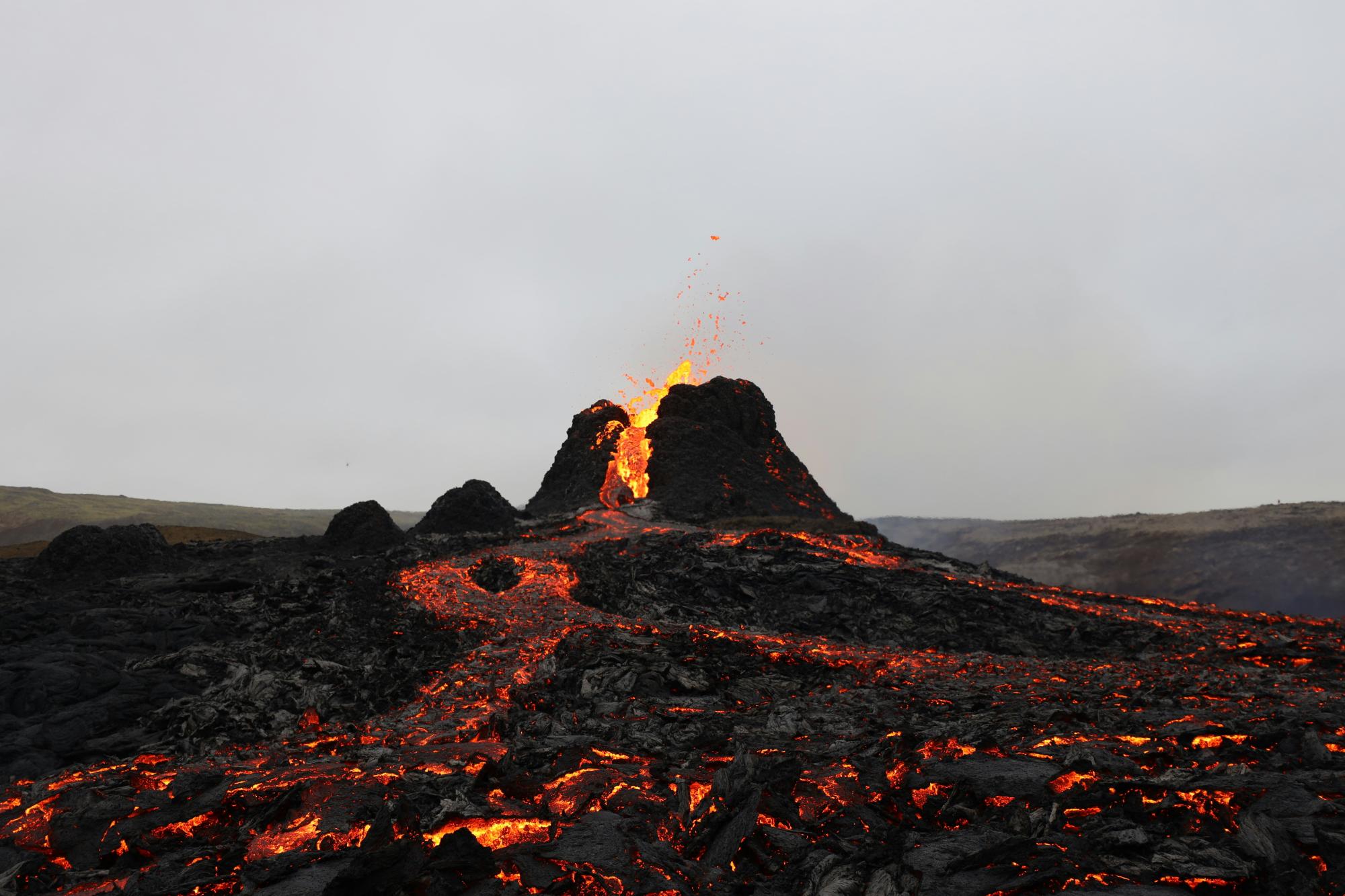
The Icelandic Meteorological Office (IMO) reports that magma accumulation beneath the Svartsengi volcanic system on the Reykjanes Peninsula has reached approximately 25 million cubic metres — the highest volume recorded between eruptions since this volcanic cycle began in late 2023. The last eruption in this series occurred in July 2025, and the current accumulation rate now exceeds the upper range seen before previous eruptions. The IMO continues to rate the area at Volcano Alert Level Orange (Heightened Unrest).
Why this matters for photographers: The Reykjanes Peninsula remains one of Iceland’s most popular photography destinations, offering dramatic lava fields, coastal scenery, and accessible eruption sites. With magma accumulation now at record levels, a new fissure eruption along the Sundhnúkur crater row is considered highly probable. Warning times before previous eruptions in this series ranged from approximately 20 minutes to just over four hours — meaning access conditions can change very quickly, with little time to safely exit active zones.
What photographers should do:
- Check the IMO’s live hazard map and official updates at vedur.is and safetravel.is before every visit to the Reykjanes Peninsula, especially the area south of Grindavík.
- Do not rely on plans made the day before — conditions near the Sundhnúkur crater row can change within an hour. Check official sources on the morning of your shoot.
- Follow all marked exclusion zone boundaries without exception. Lava fields from previous eruptions may still contain unstable ground and elevated gas levels (SO₂) even where no active eruption is occurring.
- If an eruption alert is issued while you are in the field, leave immediately via the designated evacuation routes. Do not stop to photograph an unfolding eruption from an unapproved position.
Previous eruptions in this series have produced rapidly advancing lava flows and dangerous volcanic gas concentrations. Even the most experienced landscape photographers should treat official exclusion zones as absolute limits, not suggested boundaries.
Source: Icelandic Meteorological Office (IMO) — https://en.vedur.is/about-imo/news/earthquake-in-brennisteinsfjoll-faster-subsidence-in-krysuvik-and-continued-magma-accumulation-at-svartsengi | Iceland Review — https://www.icelandreview.com/news/eruption-likely-within-weeks-as-magma-accumulates/